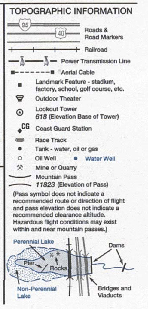
Cultural Features
Features such as roads, railroads, power lines, bridges, and cultural boundaries are shown on navigation charts. Additionally, visible landmarks such as stadiums, factories, large tanks, quarries, etc., are shown.
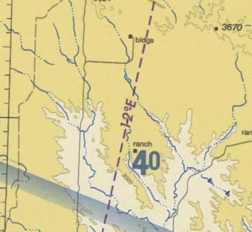
Magnetic Variation
Lines of magnetic variation are shown on navigation charts as dashed magenta lines. These lines are used in navigation planning to correct true course to magnetic course by adding west variation or subtracting east variation. A magnetic variation of 12 degrees east in indicated in this example. This means there is a 12 degree east variation between true north and magnetic north in this area.
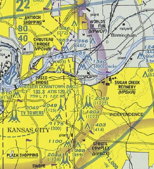
Visual Checkpoints
Magenta flags denote visual checkpoints, which can be used to declare your position to air traffic control. A pilot wishing to communicate with the tower at Kansas City Downtown airport could report position in simple terms, such as "over sugar creek refinery". Because the refinery is a visual checkpoint, the tower controller will know your position based on this report.
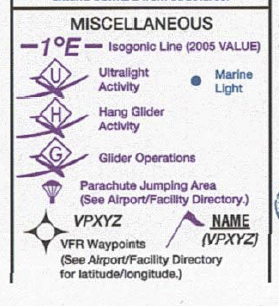
Special Activities
When an airport contains special activities, such as parachuting or glider activity, it is depicted according to the legend, as shown below.