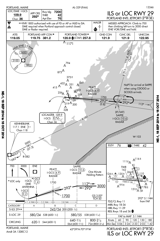
Should still other components of the approach be inoperative, we can look to the approach plate for answers. If DME became inoperative in our example approach, we could still shoot the ILS to 29 provided we still have air traffic control radar. The chart note says, "DME or Radar required". In this case, SAPPE could be identified using the AUG 213 radial, but we are given no radial for PEATT. Being radar contact, however, we have the option to request the air traffic control to tell us when we're passing PEATT. If you have another way of identifying SAPPE and PEATT, such as an approved RNAV system, that works, too. However, you are still required by the chart to have DME or radar to conduct the approach.
These same tools are available for any approach. Use the inoperative components table and approach chart to make your determination. There should be a very clear answer as to how the inoperative components affect the approach. If you are unsure about whether the approach can be conducted, don't do it.
Let's take a look at the NDB approach to runway 36 at Marshall, Missouri. In this case, the final approach fix is the Marshall NDB, and we can become aligned with the final via radar vectors from Whiteman Approach or by a procedure turn course reversal, if required. If being radar vectored, approach would give you a clearance such as, "Cessna seven zero eight golf lima, 5 miles southwest of Marshall NDB, turn left heading 020 to join the final approach course, maintain 2,800 until established, cleared NDB runway 36 approach at Marshall. Advise your cancellation of IFR in the air with me or on the ground with Columbia flight service. Radar services terminated, change to advisory frequency approved."

The approach chart tells us that once established on the 352 bearing inbound and within 10 nm of the NDB, you can descend to 1,900 feet. In this case, the 10 mile distance was established by air traffic control, who informed us we are within 5 miles of the NDB as part of the approach clearance. Upon passing the NDB, descent is made to the straight in MDA of 1220 or the circling MDA of 1240. The missed approach point is determined by time for this approach. At a ground speed of 90 knots, missed approach would be initiated at 1 minute, 52 seconds after passing the NDB.
If no radar vectors are available, several options are provided for getting to the NDB. The chart shows feeder routes from Napoleon, Hallsville, and FRANC. Alternatively, air traffic control could just clear you directly to Marshall NDB. Notice the zigzag lines on the routes from Napoleon and Hallsville. These lines indicate a break in the depiction of the route, because the route is not drawn to scale. Let's say we're approaching the NDB from the northwest and air traffic control gives us the following clearance, "Cessna seven zero eight golf lima, maintain 3,000 until established on a published portion of the approach, cleared NDB runway 36 approach at Marshall. Radar services terminated. Frequency change approved."
In certain approaches, such as utilizing an on airport VOR or NDB, a final approach point is used instead of a final approach fix. The FAP serves as the FAF and identifies the beginning of the final approach segment.
The final approach point is the point at which the aircraft has completed the procedure turn, is established inbound on the final approach course, and may start the final descent.